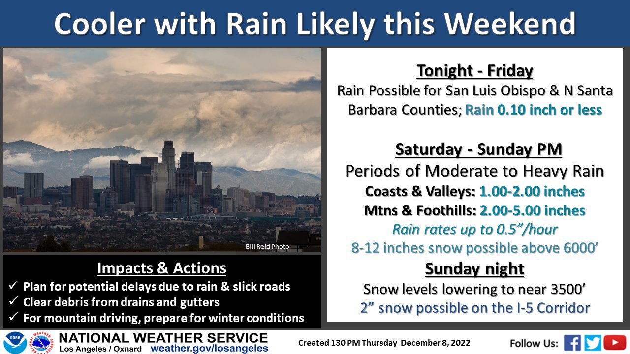
More rain is expected to fall in the Southland over the weekend, with potentially heavy downpours in some areas Saturday evening into early Sunday that forecasters warned could cause some debris flows in recent burn areas.
According to the National Weather Service, rain is expected to reach Los Angeles County by Saturday afternoon, accompanied by high winds in some areas. Forecasters said Los Angeles County mountains could see rainfall rates of 1/2- to 3/4-inch per hour.
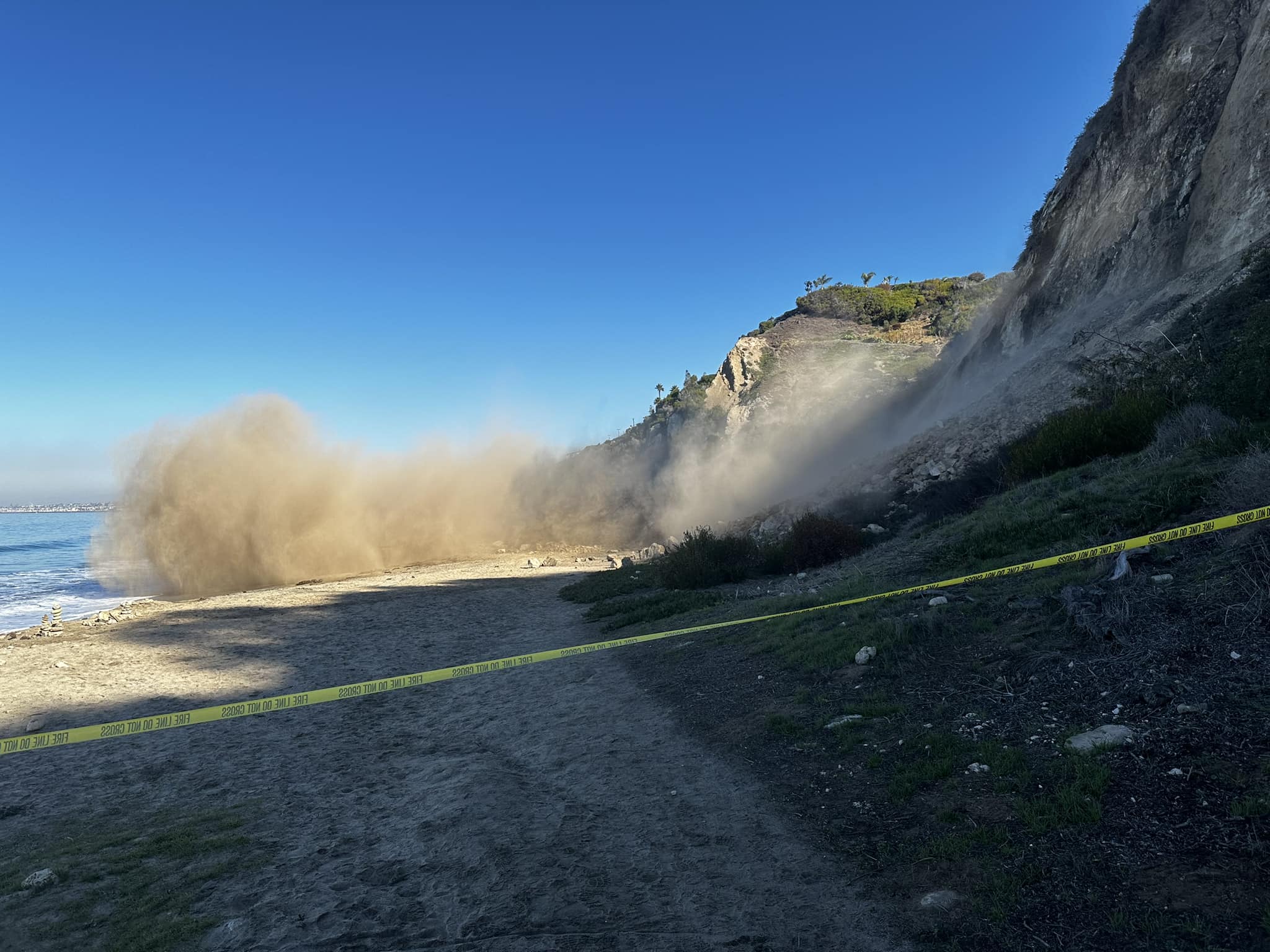
Those rates prompted the NWS to issue a flash flood watch for the mountains, Antelope Valley and San Gabriel Valley that will be in effect from Saturday night through Sunday afternoon. The watch particularly applies to the Fish Fire and Lake Fire burn areas.
“Residents near these burn scars should prepare for potential flooding impacts,” forecasters said.
High wind watches will be in place for the mountains and the Antelope Valley late Saturday night into Sunday afternoon, but forecasters said other Southland areas could fall under wind advisories as the storm system moves through. Mountain areas and the Antelope Valley can expect winds of 30 to 40 mph, with gusts up to 60 mph.
“Rain will turn to showers by Sunday afternoon, but showers will likely remain quite numerous through Sunday night,” according to the NWS.
Forecasters said “heavy downpours and small hail” are possible in some areas Sunday afternoon through Sunday night.
Rainfall totals are expected to average 1 to 2 inches in coastal and valley areas, but between 2 and 5 inches in the foothills and mountains.
The snow level will remain high through Sunday morning, but drop later that day to as low as 3,000 feet, meaning “snow could accumulate on portions of I-5 near the Grapevine. This could cause major travel disruptions at the end of the weekend.”
Some lingering showers will be possible Monday morning, primarily in mountain areas, forecasters said.