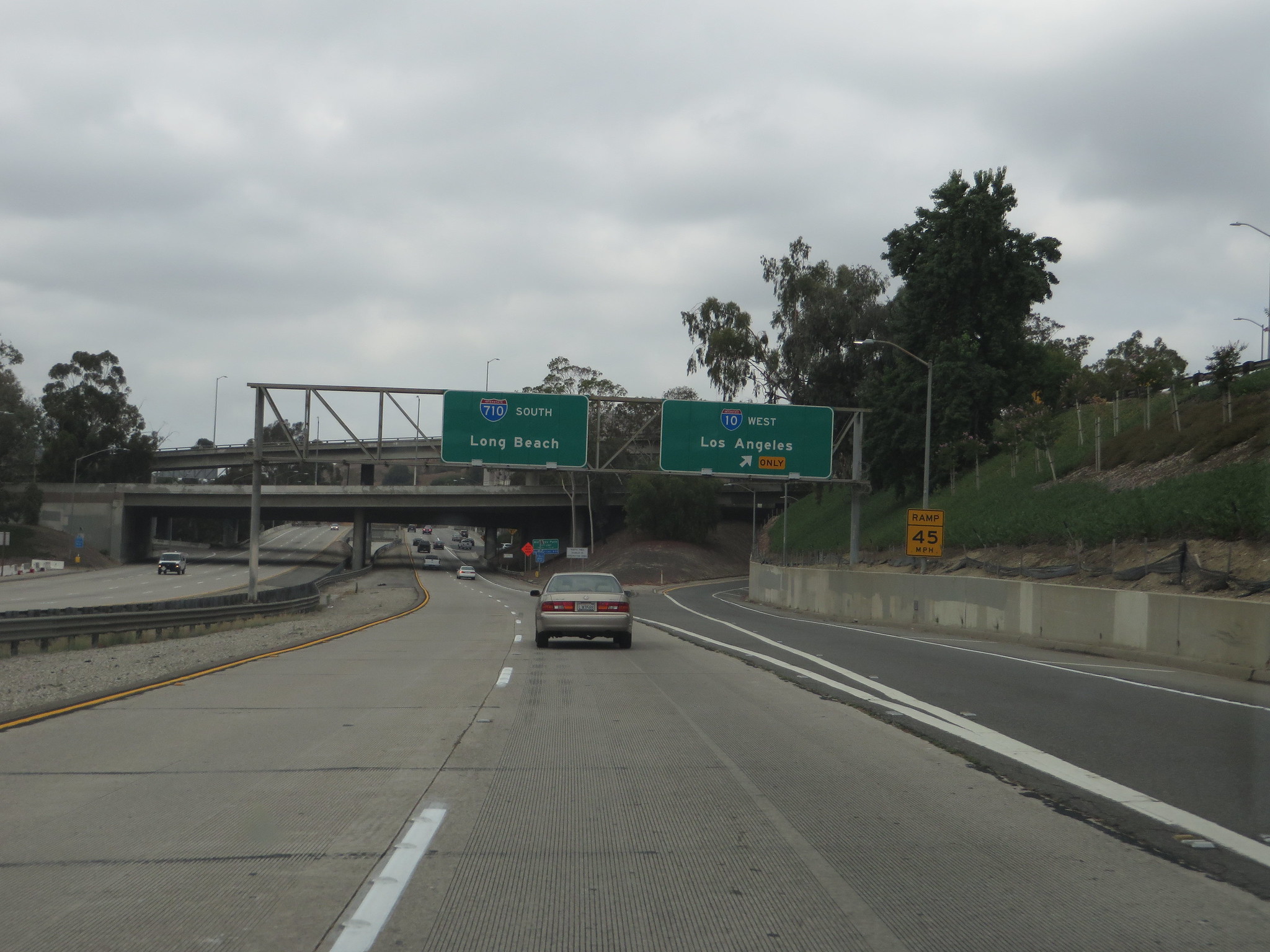
Southland residents were greeted by clouds and cooler weather Monday as the first of a pair of storm systems began making its way into the area, beginning several days of anticipated wet weather.
“Back-to-back storm systems will bring cloudy, cool, and wet weather across the region through much of this week,” according to the National Weather Service. “The first storm system will (bring) periods of generally light showers through Tuesday. A stronger storm will bring several hours of steady moderate rain and gusty winds Wednesday through Thursday, with threats for flooding and thunderstorms. Gusty northwest winds (are) likely to follow Friday and Saturday, with a generally quiet first half of the next holiday week.”
Not everyone will experience rain with the first storm system Monday, and areas that do get precipitation will see only small amounts, generally falling at rates of less than a quarter-inch per hour, forecasters said.
However, the light rain is expected to continue off-and-on through Tuesday, so some areas could potentially receive between a quarter-inch and an inch of rain by the time the system passes, according to the NWS.
The second storm system, expected to move into the area Wednesday, is expected to be “more dynamic,” possibly bringing “heavy rainfall” and isolated thunderstorms. Forecasters said the system’s slow pace could lead to some prolonged downpours in some areas, “which could lead to a heightened flood threat.”
“Due to the uncertainty of where and if this pattern sets up, we are highlighting just a marginal — 5-15 percent chance — of excessive rainfall and flooding focused across prone areas, such as steep terrain, recent burn scars and urban areas, for most of the region Wednesday into Wednesday night,” forecasters said.
But the rain could become more widespread on Thursday, when the system “may be capable of supporting (a) strong thunderstorm with gusty winds and large hail the main threats.”
The chance of excessive rainfall and possible flooding will increase to 15% to 40% Thursday into Thursday night.
Overall, the second storm system could drop between 2 and 5 inches of rain, with a “worst case scenario” potentially bringing 4 to 7 inches.
Snow levels are expected to remain above 8,000 feet, although snow is possible as low as 7,000 feet depending on how the storm tracks as it moves into the area.
“In either case snow levels may drop somewhat as the storm departs to our south and east Friday,” according to the NWS. “Precipitation chances will rapidly drop off for most areas during this timeframe, except for potentially lingering a bit longer for the high desert and adjacent mountains of L.A. County as moist easterly flow briefly sets up. Cool and mainly dry conditions are expected for the upcoming weekend.”
In Orange County, rain was expected Wednesday and Thursday in Laguna Beach and Monday through Thursday in Newport Beach, and Tuesday, Thursday and Friday in Irvine and Anaheim.
Daytime temperatures will drop into the low 60s in the Los Angeles area Tuesday through Friday. Overnight lows will generally be in the upper 40s and lower 50s throughout the Southland, but will dip into the 30s in some parts of the mountains and high desert.
Thursday is the first day of winter. Forecasters said skies should clear up by Saturday.


