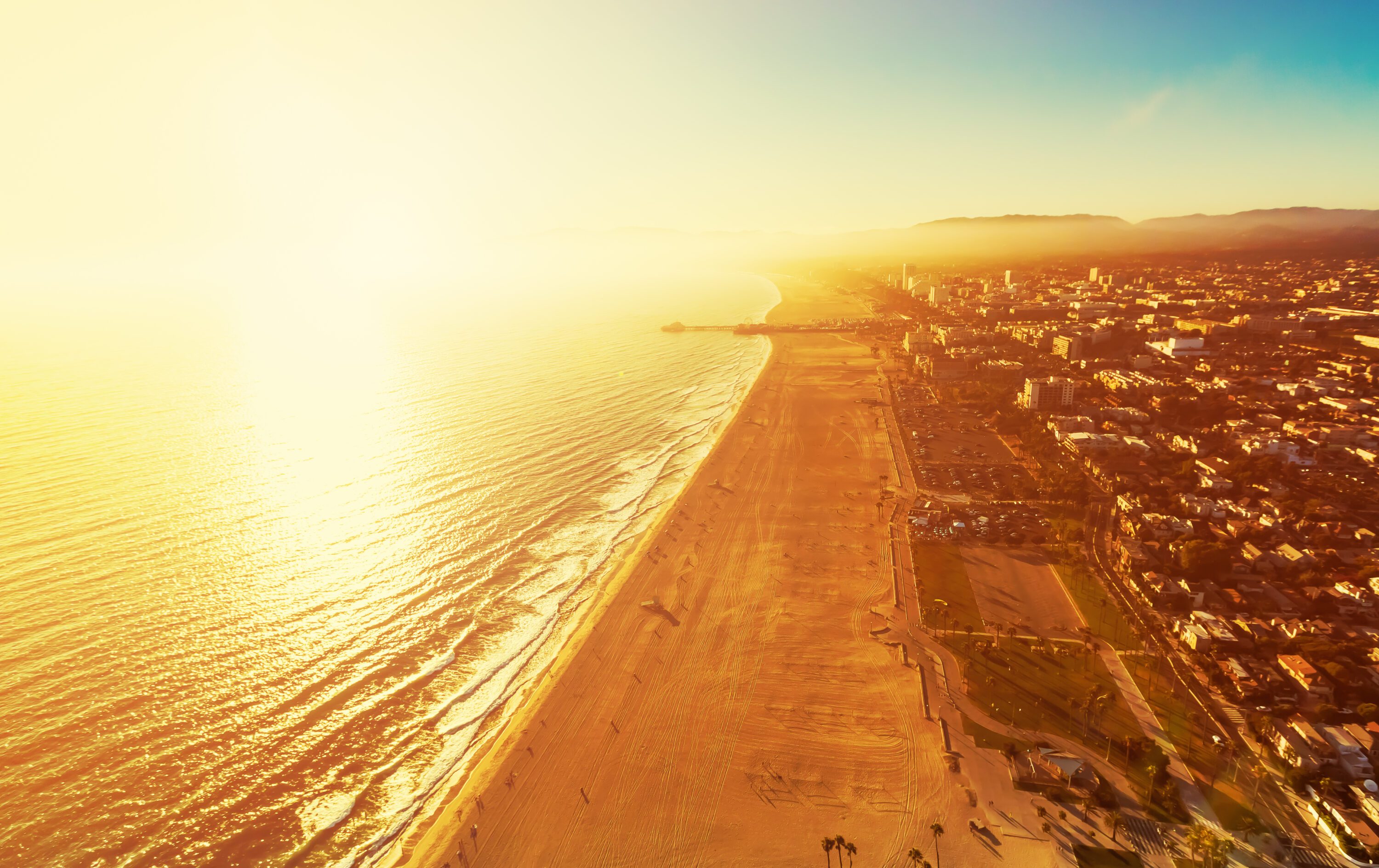
More summer-like heat bathed the Southland Friday, with additional Santa Ana winds on tap Friday evening and a high-pressure system expected to drive up temperatures through Super Bowl LVI on Sunday.
According to the National Weather Service, temperatures actually dropped slightly in some coastal areas on Friday compared to a day earlier, but most of the region experienced well-above-average heat.
Santa Ana winds were expected to begin building again Friday night and continue into Saturday, although the gusts were not expected to be as severe as Thursday’s wind event. A wind advisory will be in effect from 4 a.m. to 2 p.m. Saturday for the Santa Clarita Valley and the Los Angeles County mountains, excluding the Santa Monica range.
Forecasters said winds of 20 to 30 mph are anticipated in the advisory areas, with gusts up to 45 mph. As usual, the NWS warned that the winds could make driving difficult for high-profile vehicles, while also potentially knocking down tree limbs and knocking out power.
Meanwhile, temperatures up to 90 degrees are possible in many areas through the weekend. A heat advisory will remain in effect through 6 p.m. Sunday in the San Fernando and San Gabriel valleys, along with the Los Angeles County coastal region, including downtown Los Angeles.
“Take extra precautions if you work or spend time outside,” the NWS advised. “When possible reschedule strenuous activities to early morning or evening. Know the signs and symptoms of heat exhaustion and heat stroke. Wear lightweight and loose fitting clothing when possible.”
The combination of heat, wind and low humidity will increase the fire danger. Forecasters said humidity levels could drop as low as 6% over the weekend, combined with the Santa Ana breezes and heat ranging from 80 to 90 degrees.
“Several hours of red flag (high fire danger) weather conditions are likely again on Saturday,” forecasters said. “While active wildfires are possible in specific dry fuelbeds, extreme fire behavior is not expected due to very high live fuel moistures. Red flag warnings will therefore not be considered.”
The heat on Sunday could set a record for the hottest-ever kickoff temperature at a Super Bowl. The current record is 84 degrees, set at Los Angeles Memorial Coliseum in 1973. Temperatures at SoFi Stadium in Inglewood Sunday afternoon are forecast to be in the mid to upper 80s.
The NWS noted that “picture-postcard perfect weather will be on display Sunday for anyone seeing the LA coast on their TVs.”
The heat is expected to break on Monday, when “significant cooling” is anticipated, according to the weather service. A “cold storm system” will move in on Tuesday.
“There’s a chance of light rain and mountain snow Tuesday as well as gusty northerly winds,” according to the NWS.


