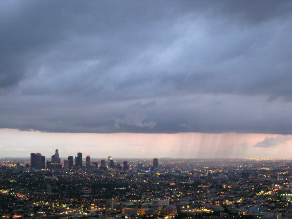
It was a mostly clear and slightly warmer day in the Southland Wednesday, but more rain is on the way, with potentially heavy storms possible on New Year’s Eve.
According to the National Weather Service, “cooler and unsettled weather” will return to the area Thursday into Friday, bringing a chance of some light showers to the area, particularly in the Antelope Valley, which could see some more persistent rain.
“A colder storm system is expected to move over the region between Saturday and Saturday night, bringing gusty southwest winds and moderate to heavy rain,” according to the NWS.
“… New Year’s Eve celebrations planned for outdoors should include contingency plans as some (forecasts) do push the front through Los Angeles County around midnight, which could include gusty winds and moderate-to-heavy rainfall,” forecasters said.
Snow levels could fall on Sunday morning, “so snow at the mountain passes cannot be ruled out entirely,” forecasters said, but the bulk of the snow activity will be at higher elevations, above 7,500 feet for most of the storm.
Rainfall totals from the weekend system are expected to reach 1 to 2 inches along the coast and into the valleys, with 2 to 4 inches possible in the foothills and mountains, according to the NWS.
Conditions are expected to dry out on Sunday, continuing into Tuesday – – which is good news for the Rose Parade in Pasadena on Monday.
But forecasters said another storm system could arrive between Tuesday and Thursday, bringing more rain to the area.
“While it may seem like there has been nothing but rain for months, downtown L.A. is just at about the seasonal norm for rainfall amount at this point in the water year, which started in October,” according to the NWS. “These next systems should boost us above normal, and every little bit will help improve on the multi-year drought conditions.”


