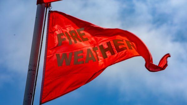
A Santa Ana wind event paired with very low relative humidity has prompted the National Weather Service Saturday issue a Red Flag Warning for the Inland Empire, which goes into effect Saturday.
The warning will be in effect from 8 a.m. Saturday to 3 p.m. Sunday.
“Surface high pressure builds over the northern Great Basin on Saturday, when Santa Ana winds are expected to peak,” according to an NWS statement. “Winds will largely be confined to the usual passes and canyons. Wind gusts in these locations will be around 45 to 55 mph, with isolated gusts to around 65 mph in the favored spots.”
Meteorologists had earlier posted a Fire Weather Watch for the weekend, but that was superseded by the Red Flag, which the NWS said was justified because a “combination of strong winds, low relative humidity and warm temperatures can contribute to extreme fire behavior.”
According to the Weather Service, humidity levels will drop to around 15% Saturday and below 10% Sunday, translating to little moisture in the atmosphere.
“Winds turn more northeasterly and strengthen (Friday) into Saturday morning,” the NWS stated. “The strongest winds will be below the Cajon Pass and in the Santa Ana Mountains. Gusts of 35 to 45 mph will occur in and below the San Gorgonio Pass.”
A low-pressure system expected to exit to the east Friday night and be replaced by high pressure ridges ringing California, according to prognostication charts published by the Weather Service.
A ridge over the Great Basin in Utah and Nevada will keep the wind machine in motion until a cold front sweeps in from the north, displacing it, forecasters said.
The NWS said daytime highs Saturday in the Riverside metropolitan area will peak in the upper 60s, with lows falling to around 45 degrees. On Sunday, highs will settle in the mid-70s and lows in the upper 40s, forecasters said.
For the Coachella Valley, daytime highs will top out in the low 70s Saturday and Sunday, with overnight lows in the upper 40s.
In the Temecula Valley, the high on Saturday is expected to be 70, with a low around 45, while on Sunday, the daytime peak will be in the mid-70s, with lows in the upper 40s.
Clear, sunny conditions will prevail into the middle of next week, with no rain in the immediate forecast.


