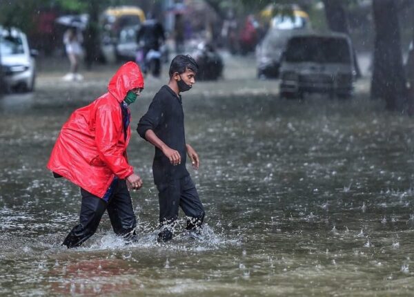
Moderate to heavy rain and high winds are expected to wallop the Inland Empire Saturday evening and Sunday, as a winter storm rolls in from the Pacific Northwest, according to the National Weather Service.
“Showers should begin Saturday night, but it looks like the bulk of the rain will fall on Sunday, as a cold front sweeps across the region,” the NWS said. “Rainfall should be most widespread and locally heavy near the time of frontal passage.”
The agency posted a Flood Watch from Saturday night to Sunday afternoon, mainly within the San Gorgonio Pass and around the mountain slopes in the San Bernardino National Forest, where “excessive runoff may result in flooding of rivers, creeks, streams and other low-lying flood-prone locations.”
A Wind Advisory is also in effect from 6 a.m. to 10 p.m. Sunday, with the NWS noting that southwest winds of 15 to 25 mph are anticipated, with gusts to between 50 and 70 mph in some locations.
According to prognostication charts published by the agency, the bulk of the inclement weather will overlay the region Sunday, with lingering impacts going into Monday, mostly at the higher elevations.
“A high snow level, over 7,000 feet initially, will keep the main heavy snow threat above 6,500 feet, but some snow will accumulate at lower elevations, between 4,000 and 6,000 feet, through Monday,” the Weather Service said. “Showers will be more scattered behind the front through Monday night.”
A cold snap will ensue, with high temperatures in the Riverside metropolitan area stalling in the mid 50s on Sunday and barely climbing above 50 degrees on Monday, remaining below 60 for the remainder of next week, according to forecasters. Lows will drop into the 30s on Sunday night and trend below 40 going into the following weekend.
In the Coachella Valley, the daytime mercury will stay at or near 60 degrees, with lows around 40 on Sunday and for most of the upcoming week. The temperature band in the Temecula Valley will be virtually identical to the Riverside area next week, according to the NWS.
According to meteorologists, the trough of low-pressure supporting the storm system will churn up snow and ice storms, thunderstorms and other rough weather throughout the nation’s midsection next week.


