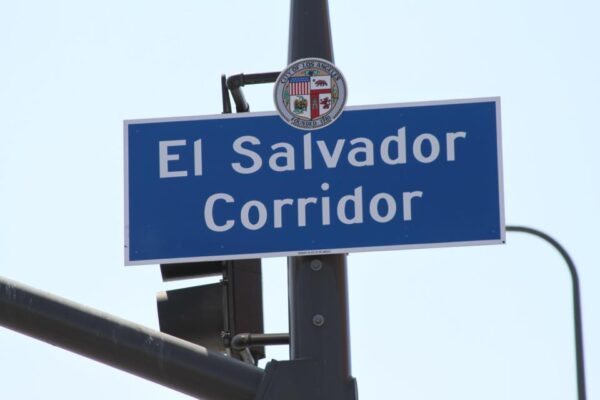
Councilman Gil Cedillo wants the city to develop interactive maps that show where street vending is allowed in Los Angeles, citing the need to support vendors along the El Salvador Corridor in his district.
In a motion filed Tuesday, Cedillo requested that the Bureau of Street Services and the Bureau of Engineering create the publicly available maps.
“In order to support the local Salvadoran vendors, it is necessary for the City to develop tools clearly outlining the City’s vending policies and where vending is and is not allowed, specifically within the El Salvador Corridor,” the motion states.
The area around West Pico Boulevard and Vermont Avenue is a hub for Salvadorans living in Los Angeles, and has become a popular site for sidewalk vendors, according to Cedillo’s office.
His motion comes a few weeks after Councilman Bob Blumenfield filed a motion seeking to expand protections for street vendors after an attack in Woodland Hills. That motion requested a report back on laws that apply to threats against street vendors, recommendations for additional laws to deter such attacks and strategies for enforcing such laws.
The motion also stated that there has been an increasing number of similar incidents in Southern California that may not be directed solely at street vendors, but “are accompanied by obvious anti-Latino and anti-immigrant language.”


