It’ll remain cool Saturday, with clouds and fog, with those conditions expected to give way to gusty dry conditions Sunday and Monday, prompting forecasters to issue a red flag warning of heightened wildfire danger for parts of the Southland.
The warning will be in effect from 9 a.m. Sunday to 3 p.m. Monday in the Santa Monica Mountains Recreational area, Los Angeles County Mountains, Angeles National Forest, coastal areas including downtown Los Angeles and the Santa Clarita, San Fernando and San Gabriel valleys.
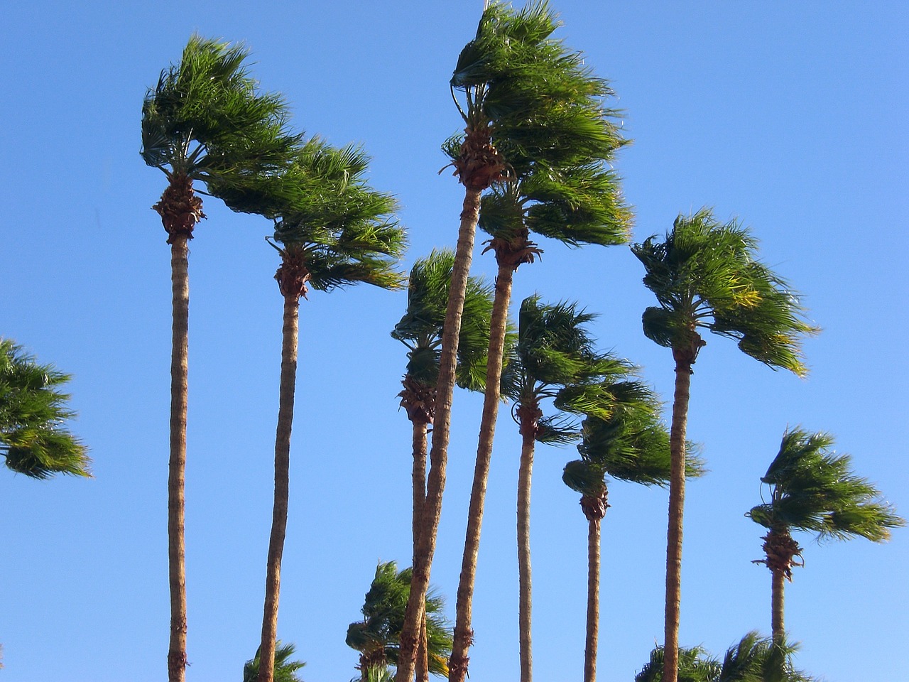
According to the National Weather Service, Santa Ana winds will begin developing late Saturday night into Sunday, peaking Sunday morning and afternoon with gusts of 35 to 60 mph.
“Gusty Santa Ana winds are expected to continue into Monday morning, however, wind speeds are expected to be 10 to 15 mph less than Sunday,” according to the NWS. “Humidities are expected to fall to around 15 to 20 percent by mid-morning Sunday, potentially lowering to between 8 and 15 percent by Sunday afternoon and evening, and again on Monday. Temperatures generally look to peak between 75 and 85 degrees.”
Humidity levels are expected to remain low even during overnight hours.
A separate red flag warning will be in effect from 9 a.m. to 7 p.m. Sunday for the Santa Ana Mountains and inland Orange County. Forecasters said that area will see winds of 20 to 30 mph, with gusts of 45 to 55 mph, and isolated bursts of 60 to 65 mph in the Santa Ana Mountains. Humidity levels in that area could drop as low as 5% Sunday afternoon.
“A combination of strong winds and low relative humidity with dry fuels can contribute to rapid fire spread and extreme fire behavior,” according to the NWS. “Use extreme caution with potential fire ignition sources.”


