Powerful Santa Ana winds blasted large swaths of the Southland Tuesday, prompting warnings for motorists in high-profile vehicles to drive with caution, particularly in the northern reaches of the county.
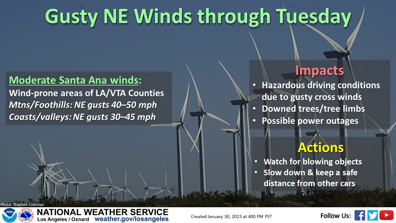
A high wind warning will be in effect until 6 p.m. in the Los Angeles County mountains, with winds of 35 to 45 mph and gusts reaching as high as 75 mph.
A less severe wind advisory will be in place until 6 p.m. in the Santa Clarita and San Fernando valleys, with gusts of up to 55 mph in the forecast, and along the Malibu coast, with gusts reaching 50 mph.
“Gusty winds will blow around unsecured objects and make driving difficult, especially for high profile vehicles,” the National Weather Service warned. “Tree limbs could be blown down and a few power outages may result.”
The California Highway Patrol also issued a warning for drivers on routes including the Antelope Valley (14) Freeway from the 5 Freeway to Ward Road, and on the Ronald Reagan (118) Freeway between the Ventura County line and the 5 Freeway.
The CHP warned drivers of campers and trailer trucks to use caution.
“There have been gusts over 70 mph in the mountains of Los Angeles County …,” according to the NWS. “Elsewhere, widespread wind gusts of 40 to 50 mph were being reported in the Santa Clarita Valley, the northern and western San Fernando Valley, portions of the Ventura County valleys, the Santa Monica Mountains and the Malibu Coast. Winds may increase a bit further this morning, and there will probably be some local gusts to 60 mph in some of these areas.”
Forecasters said the windy conditions will continue in some areas through Wednesday morning, with some areas expected to have extremely cold mornings. A hard freeze watch will be in place Tuesday night through Wednesday morning in the Antelope Valley, where temperatures could fall as low as 18 degrees.
“Near to slightly below freezing temperatures are expected each morning in the coldest locations through Thursday, with the lowest temperature Wednesday morning,” according to the NWS. “Warming is expected during the day today (Tuesday) and Wednesday, with high temperatures near normal by Wednesday.”