Parts of the Southland endured another day of dangerous, triple-digit temperatures Monday, accompanied by elevated fire danger and a statewide Flex Alert urging residents to conserve power in hopes of preventing outages.
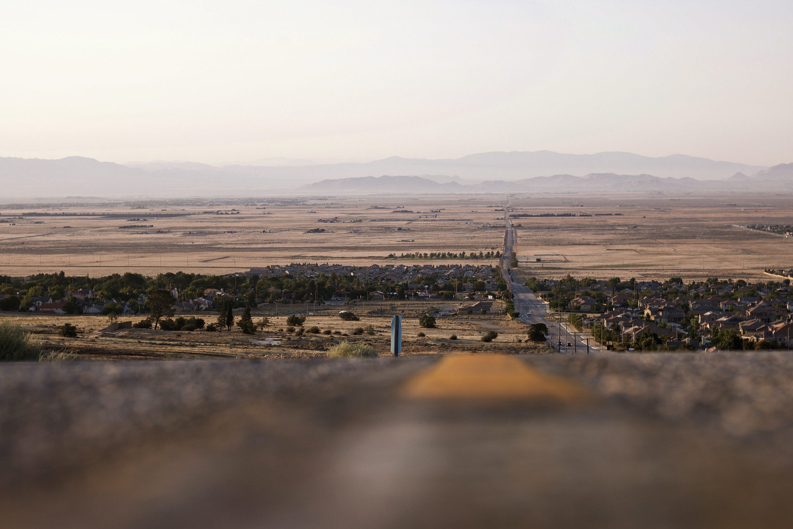
A cooling trend is expected Tuesday that will bring temperatures down to near-normal levels for the rest of the week — but triple-digit temperatures are still expected throughout the week in the Antelope Valley, where record temperatures were recorded in two cities for the second straight day on Sunday.
Lancaster set a record-high of 113 degrees on Sunday, and Palmdale a record-high 111. Saturday’s highs of 112 in Palmdale broke the old record for that date of 109 set in 2003, while the 113 in Lancaster broke 1961’s record of 112, according to the National Weather Service.
An excessive heat warning will remain in effect in the Antelope Valley through 9 p.m. Monday, with the NWS predicting “dangerously hot conditions” and temperatures up to 115 degrees.
Forecasters said temperatures won’t drop dramatically overnight in the area either, with lows expected in the mid-70s to mid-80s.
“Strong upper level high pressure will bring excessively hot temperatures to the interior valleys, mountains and deserts through early next week, with above normal temperatures most everywhere away from the coast,” according to the NWS.
A less severe heat advisory will be in effect until 9 p.m. Monday for Los Angeles County mountains, excluding the Santa Monica range. Forecasters said lower elevations could see temperatures of up to 109 degrees.
A heat advisory was allowed to expire in the Santa Clarita Valley at 9 p.m. Sunday.
A continuing onshore flow will keep temperatures cooler along the coast.
Fear of wildfires always accompanies heat waves — and forecasters said humidity levels could drop into the teens in the mountains and interior areas. And gusting winds are likely in the afternoons, particularly in the Antelope Valley.
“As a result, there will continue to be elevated fire weather conditions in the afternoons across the drier and windier locations,” according to the NWS.
Meanwhile, the California Independent System Operator, which manages the state’s power grid, has declared a Flex Alert — a call for voluntary conservation in hopes of reducing strain on the system and preventing outages — from 4 p.m. to 9 p.m. Monday.
“Demand is expected to increase on Monday, July 12. The ISO has called for power plants to delay any planned maintenance and to be available. Californians are asked to remain vigilant in case we need conservation help tomorrow,” the ISO tweeted early Sunday afternoon.
As with other heat events, the NWS advised residents to stay hydrated, avoid the sun when possible and check up on relatives and neighbors who might be susceptible to heat illness.
“Take extra precautions if you work or spend time outside,” forecasters advised. “When possible reschedule strenuous activities to early morning or evening. Know the signs and symptoms of heat exhaustion and heat stroke. Wear lightweight and loose fitting clothing when possible.”
The Los Angeles County Department of Public Health issued a heat alert through Wednesday in the Antelope Valley, and through Tuesday in the Santa Clarita Valley.
County officials said those without air conditioning at home can take advantage of cooling centers, with information on locations available at https://ready.lacounty.gov/heat/ or by calling 211.
L.A. County residents can take solace in the fact that the weekend’s high temps were still well short of the eye-popping numbers recorded in Death Valley. The Mojave Desert location — known for the Earth’s hottest recorded temperature of 134 degrees in 1913 — reached a high of 130 degrees on Friday, Saturday and Sunday.

