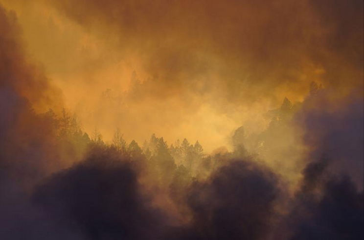
Historic wildfires on the West Coast of the United States have filled the skies with burnt-orange haze and thick ash, forcing residents to consider whether it’s even safe to step outside and take in a lungful of air. A warming climate means that wildfire seasons will likely continue to grow in duration and destructiveness . As smoke blankets the Western states, people have increasingly turned to air quality measurements to understand the air they’re breathing. This data has become easily accessible online only in the last few years. While government agencies have been monitoring air quality for decades as part of the requirements of the Clean Air Act, low-cost air quality sensors obtainable by the general public only recently took off, filling in the gaps with more localized and frequent readings. Before air quality maps were available on apps such as AirNow , IQAir , and PurpleAir , “you would get the L.A. Times and look at the weather page and see what the prediction was,” says Joe Lyou, president and CEO of the Coalition for Clean Air , a nonprofit in California. That’s not especially helpful when thousands of acres are burning in your community. Monitoring wildfire country […]
Click here to view original web page at www.nationalgeographic.com