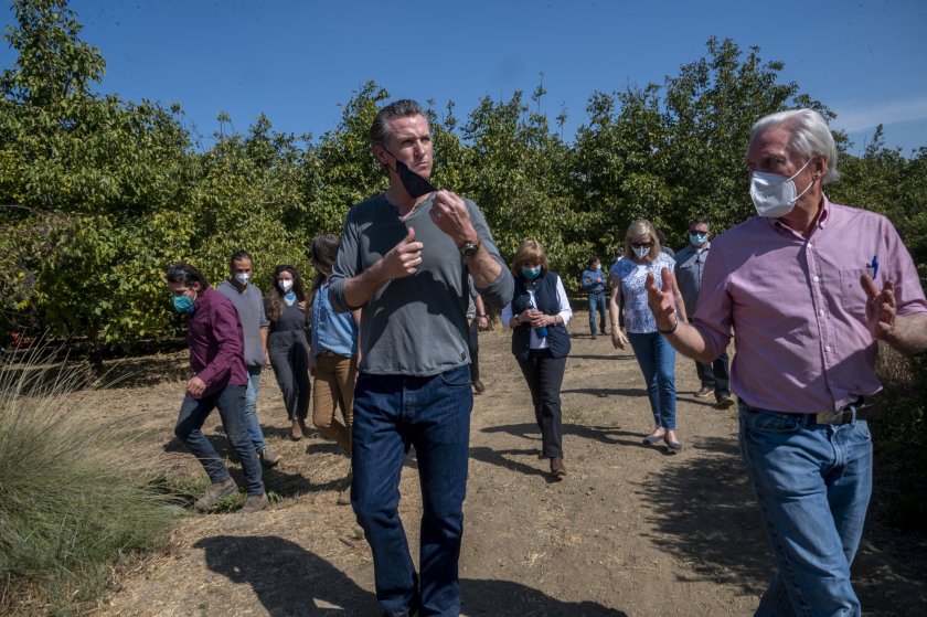
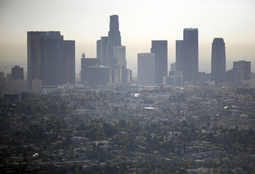
A hazy view of downtown Los Angeles, as seen from the Griffith Observatory. Welcome to Boiling Point, a newsletter about climate change, energy and the environment in California and the American West. I’m Sammy Roth, back in the saddle this week. During a news cycle dominated by COVID-19 infections spreading through the White House as President Trump and his associates flout public health guidelines, I’ve been thinking about some of the people suffering the most from this virus: Black people and Latinos, who are more likely to get sick and more likely to die than white people. I’ve also been thinking about the links between poor air quality and risk of contracting coronavirus , and the fact that people of color are more likely to breathe polluted air due to decades of racist housing and environmental policies . In California and across the country, redlining practices excluded Black people and Latinos from neighborhoods considered “desirable” and pushed them into housing near freeways, refineries and power plants. Those links are front of mind for Martha Dina Argüello, too. She’s executive director of Physicians for Social Responsibility-Los Angeles, and she sent me a fascinating map commissioned by her advocacy group that […]
Add a comment