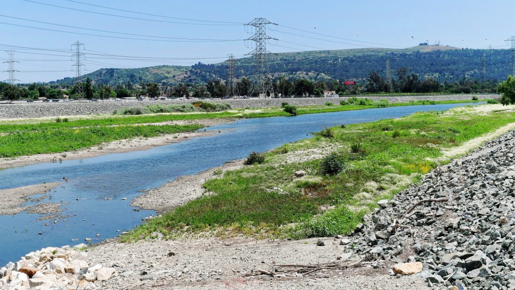
More than 80% of watersheds in the United States lack adequate protection and now, a new online tool will tell you if the river or creek in your neighborhood is in trouble.
The National Protected Rivers Assessment from the nonprofit American Rivers and Conservation Science Partners shows hundreds of rivers and creeks across California remain woefully underprotected.
John Zablocki, director of river protection for the nonprofit American Rivers, said before now, the data has been scattered.
“Up until now, nobody’s really had a reliable way to assess how protected rivers are,” Zablocki pointed out. “They’re really the most threatened systems, and also the least identifiably protected. So, we set out to develop a framework to address that gap.”
The tool includes more than 70 possible mechanisms of protection from buffer zones of vegetation on riverbanks to local zoning ordinances and wildlife habitat protections. The data show California watersheds are only 31% protected but it is one of the highest scores in the nation.
Zablocki noted his organization opposes the Trump administration’s plan to rescind the Clinton-era Roadless Rule and allow more roads to be built in inventoried roadless areas, mostly in U.S. national forests.
“Losing those protections can result in increased fires, major sedimentation that’s going to impact drinking water supplies and costs for treatment,” Zablocki outlined. “Higher water bills. It’s a really significant concern.”
He added the construction of more roads in untouched areas also encourages activities like logging and mining, which tend to harm the watershed and destroy wildlife habitat.
Written by Suzanne Potter.