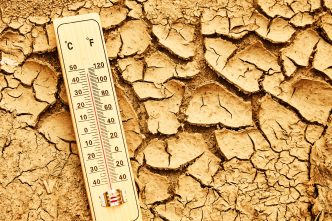
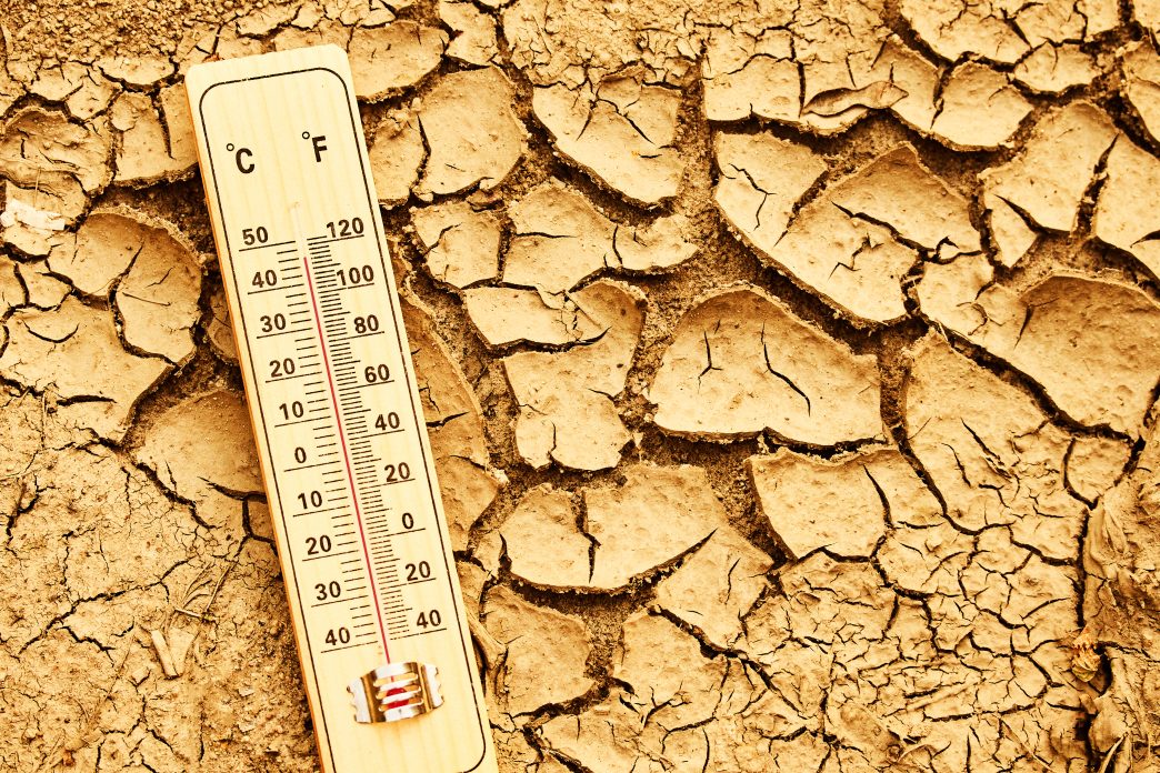
Temperatures steadily climbed Wednesday as this summer’s hottest heat wave arrives regionwide, raising the danger of wildfires and heat-related illnesses through the weekend.
National Weather Service forecasters said some Southland areas saw temperatures Wednesday morning that were 10 degrees higher than the previous day. Most areas were expected to be about 6 degrees warmer Wednesday than on Tuesday.
The mercury will keep rising in the coming days, with an extreme heat warning set for 11 a.m. Thursday to 9 p.m. Saturday in most of the area. The warning will last until 9 p.m. Friday for coastal inland areas, including downtown Los Angeles, and for the eastern Santa Monica Mountains and Palos Verdes Hills.
The scorching triple digit forecasts in areas of Riverside County prompted the National Weather Service to issue Extreme Heat Warnings and Heat Advisories on Wednesday, warning residents and visitors that the heat wave will bring severe, dangerous conditions.
The NWS forecast that the most extreme conditions will start Thursday morning, lasting through Saturday evening with dangerously hot temperatures possibly as high as 116 degrees.
Highs in the Riverside metropolitan area were expected to top out at or just above 100 on Thursday, Friday and potentially Saturday. Lows throughout the week will drop to the upper 60s, according to forecasters.
In the Coachella Valley, highs Thursday through Saturday will near 115 degrees in many desert locales. Monsoonal activity and thunderstorm development will send the mercury slightly downward, forecasters said. Lows throughout the week will generally stay in the mid to upper 80s.
In the Temecula Valley, the temperatures were expected to be moderated by coastal influences in the low to mid-90s for remainder of the week. Lows will mostly stay in the low to mid-60s, meteorologists said.
A red flag warning is in effect for parts of Riverside County until Saturday at 9 p.m. Residents should be on heightened alert, take precautions to prevent wildfires and be prepared to evacuate, the NWS advised.
The heat and dry conditions will also dramatically raise the risk of wildfires.
“Temperatures will continue to increase and peak Thursday and Friday, as a part of a long duration heat wave that will continue through Sunday,” according to the Weather Service. “With onshore flow expected to be weaker with this event, heat impacts will likely spread to inland portions of the coastal plain, where temperatures between 90 and 100 degrees will be likely.”
Forecasters said during the heat wave’s peak, temperatures could soar to between 98 and 110 degrees for the valleys, lower mountains and desert areas with minimum humidities generally ranging between 8% and 20%.
A red flag warning of critical fire danger took effect at 9 a.m. Wednesday and will remain in place through 9 p.m. Saturday in the Santa Clarita Valley, San Gabriel Mountains, Antelope Valley foothills and the Golden State (5) and Antelope Valley (14) freeway corridors, the NWS reported. Those areas are expected to face “unseasonably hot high temperatures, generally 95-110 degrees and highest Thursday through Saturday,” combined with humidity levels as low as 8%.
“While widespread strong winds are not anticipated with this upcoming heat wave, the hot temperatures, low humidities, increased instability, locally breezy conditions (mainly across mountains, foothills, and canyons), and critically dry fuels will bring the threat of large plume dominated fires (especially in the mountains and foothills), capable of rapid fire growth and explosive fire behavior,” according to the NWS.
Forecasters also raised the possibility of of showers and thunderstorms resulting from increased monsoon moisture on Friday, mostly in the eastern San Gabriel Mountains and the Antelope Valley.
Local fire departments and officials announced preparations ahead of potential wildfires.
The Los Angeles Fire Department said it added Crew 4, which is a team made up of 26 specially trained personnel who will respond to wildfires within and around the city.
Gov. Gavin Newsom also said the state had pre-deployed firefighting resources to Los Angeles County that included 10 fire engines, two water tenders, two bulldozers, one helicopter, two hand crews, thee dispatchers and an Incident Management Team.
LA Mayor Karen Bass directed city personnel to take necessary steps to combat the conditions that will accompany the heat wave.
“Ahead of expected high temperatures later this week, city departments are taking action to keep Angelenos safe,” Bass said in a statement. “I encourage Angelenos to stay cool, stay hydrated, check on neighbors, and know that resources are available citywide to help keep you safe.”
Thursday is expected to be the hottest day of the week, with record temperatures possible in downtown LA and a possible high of 109 degrees in Woodland Hills, according to the NWS. Combined warm overnight lows and scorching daytime highs will cause dangerous heat conditions throughout the region.
“Now is the time to adjust any plans for strenuous outdoor activities in the valleys and mountains to the cooler morning hours or for another week,” according to an NWS statement. “If you live in a high fire danger area in the mountains or foothills, review your evacuation plans and route and stay tuned to your local emergency officials.”
Cooling centers and hundreds of locations for relief from the heat are available throughout Los Angeles. For locations and hours of operation, visit laparks.org/reccenter and lapl.org/branches.
The city is also opening the additional cooling centers that are accessible to people with disabilities and will be open from 10 a.m. to 9 p.m. on the days listed below:
From Wednesday through Saturday in the San Fernando Valley:
- Canoga Park Senior Citizen Center, 7326 Jordan Ave.
- North Hollywood Senior Citizen Center, 5301 Tujunga Ave.
From Thursday through Friday in LA:
- Pecan Recreation Center, 145 S. Pecan St.
- Algin Sutton Recreation Center, 8800 S. Hoover St.