Rain began to fall Wednesday throughout Southern California, as a heavier system is expected to douse the region by late Thursday, raising fears of flooding, mudslides and debris flows, particularly in the recent wildfire burn areas.
Officials said evacuation orders were a possibility. Los Angeles County Sheriff Robert Luna asked residents to “keep your safety in mind” when evacuation orders are issued.
“They help to protect you and your loved ones from potential danger,” he said. “Storms can bring sudden and severe conditions that make staying back home extremely risky.”
On Thursday the Los Angeles Fire Department issued evacuation warnings for areas especially vulnerable to heavy rainfall — Palisades Fire area: the Getty Villa area, Highlands near the burned areas, Bienveneda area near Temescal Canyon Park, the area of Reseda Boulevard and Marinette Road near Will Rogers State Park and Mandeville Canyon above Tanners Road; Sunset Fire area: east and south of Runyon Canyon; and the Hurst Fire area: Olive Lane in the Oakridge Mobile Home Park.
Officials said mandatory evacuation orders will be issued for specific residences deemed extremely unsafe.
“Houses in the warning area with high risk will be visited by LAPD to issue specific evacuation orders,” according to the fire department.
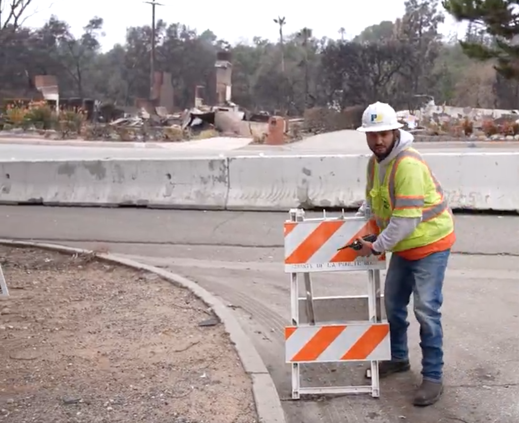
For the last few days LA County and city public works crews have been emptying debris basins, clearing storm drains, installing k-rail barriers and distributing sandbags to residents. Public works officials have also been working with the sheriff’s department to identify properties in the burn areas that are especially susceptible to mudslides or other hazards, Luna said.
“The last couple of days … in our Altadena and our Malibu-Los Hills areas, we have already been notifying, what we believe through Public Works information, are the impacted residences that could experience the specific mud flows or debris flows … and the streets where the flows may be impacting not only residents but the ability for first responders to come in and rescue people,” Luna said Wednesday.
Evacuation warnings were issued in the San Gabriel foothills adjacent to the Eaton Fire burn zone, impacting thousands of area residents. Sierra Madre city officials issued mandatory evacuation orders Thursday morning affecting approximately 1,000 homes.
The National Weather Service issued a flash flood watch for most of LA County in effect Thursday morning through Thursday evening. Forecasters said floods and debris flows are possible, “with the greatest risk in or near the Eaton, Palisades/Franklin and Bridge fire burn scars.”
Luna told KNX News that as of Thursday morning mandatory evacuations were issued for nine residences in Altadena, 49 in Malibu, five in San Dimas and 35 in Palmdale.
The NWS also issued a flood watch for Thursday morning through Thursday night for the bulk of Orange County. Evacuation warnings will be in effect at 8 a.m. Thursday for several areas near the Airport Fire burn scar.
The warnings for voluntary evacuation will be for Trabuco Canyon, Hot Springs Canyon, Bell Canyon, Long Canyon and Modjeska Canyon. Residents in those areas were “strongly encouraged” to evacuate by 8 a.m. Thursday, according to county officials.
O’Neill Regional Park and campgrounds in Trabuco Canyon will be closed Thursday.
A shelter will be established at the Foothill Ranch Library Program Annex, 27002 Cabriole Way, for residents evacuating the area.
According to the NWS, the storm system that could last until Saturday is likely to be “the biggest precipitation producer so far this season.”
While about a quarter-inch of rain is expected Wednesday, roughly 1 to 3 inches of rain are expected in most coastal and valley areas, with 3 to 6 inches anticipated in foothills and mountains after the storm’s most intense period.
Forecasters expected the heaviest rain during the late afternoon into Thursday night, with up to 1.2 inches per hour possible in foothill and mountain areas as well as the region’s coastal plain, according to the NWS.
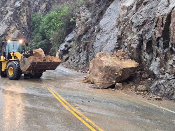
County Public Works Director Mark Pestrella said rainfall rates that surpass a half-inch an hour can cause mudslides and debris flows.
He said the county has been working with federal agencies to develop measures to contain debris that could flow from the Palisades and Eaton fire burn areas on streets in those areas.
Using an extensive system of k-rails and sandbags, Public Works crews aim to capture debris before it reaches streets. If flows do breach barriers, the plan is to divert and contain them on streets to prevent the potentially toxic flood from reaching waterways. That is of special concern in the area of the Palisades Fire, Pestrella said.
In addition to the county’s efforts to notify residents whose homes may be at increased danger for mudslides, Pestrella urged residents in all areas, not just fire zones, to contact the county at 800-675-4357 to have their property evaluated if they think it may be at risk.
The Los Angeles County Department of Public Works was providing free sandbags at the La Costa Post Office, 21229 Pacific Coast Highway in Malibu, for people in the Palisades Fire area. For the Eaton Fire area, free sandbags are at Robinson Park, 1081 N. Fair Oaks Ave., and Victory Park, 2575 Paloma St. in Pasadena.
A list of where sandbags are available is at lacounty.pw/sandbags.
Updated Feb. 13, 2025, 11:15 a.m.