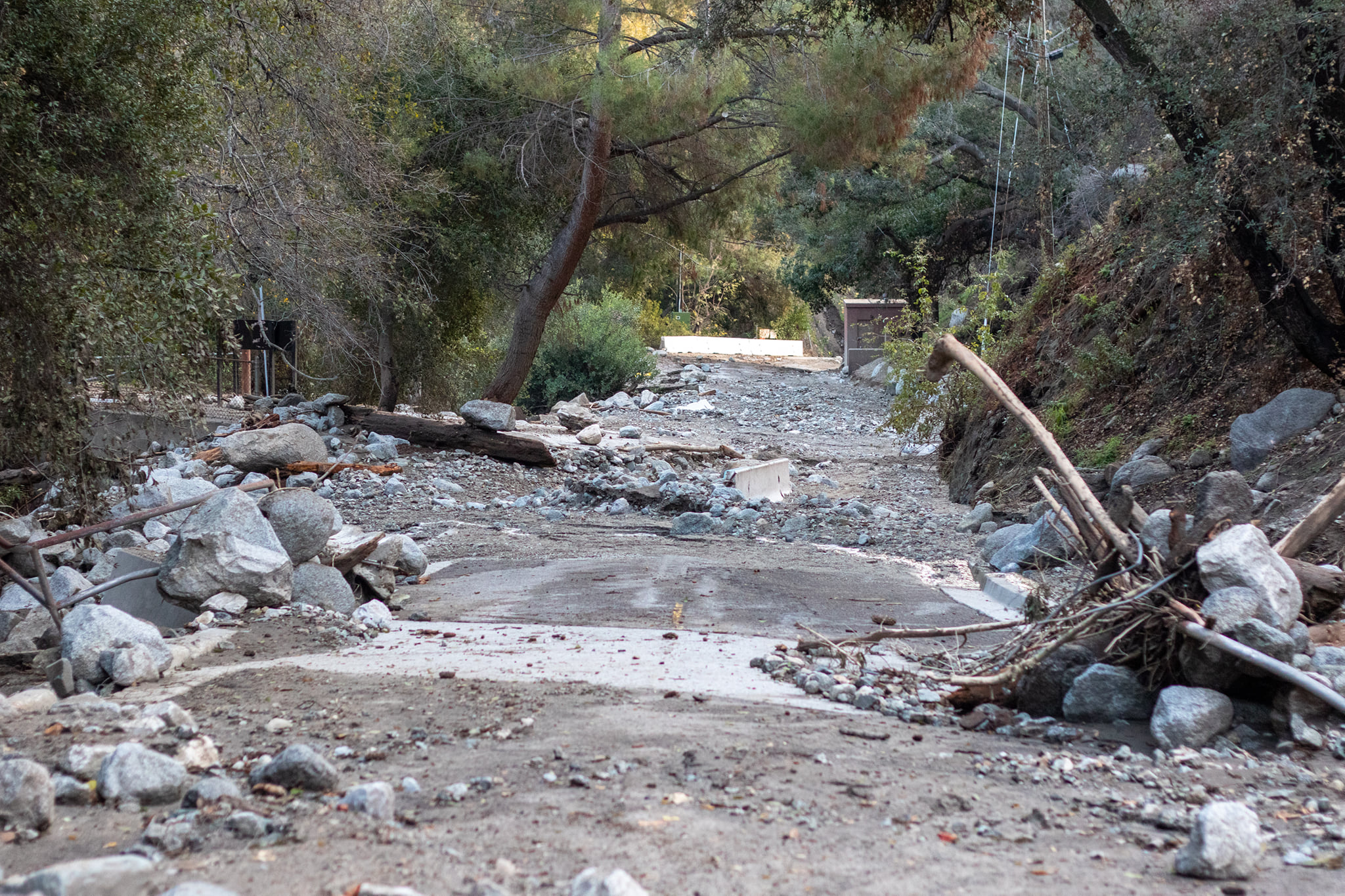
A slow-moving storm system began sliding over the Southland Wednesday — albeit later than expected — bringing light rain to some areas and beginning what is expected to be two days of wet conditions.
A winter storm warning took effect at 1 a.m. and will remain in place until 4 a.m. Friday in the Los Angeles County mountains, excluding the Santa Monica range. According to the National Weather Service, “heavy snow” is possible, with 1 to 3 feet accumulating above 5,000 feet, and “light snow” falling as low as 4,000 feet. The snow will be accompanied by winds gusting up to 45 to 50 mph, with higher-elevation gusts of up to 60 mph.
“Travel could be very difficult to impossible,” according to the NWS.
The weather service said some mountain roadways that could be affected by snowfall include Angeles Crest Highway, Mount Baldy Road and Highway 39.
Caltrans reminded motorists that chains will be required on the Angeles Crest Highway north of La Canada Flintridge, and the agency urged motorists to be aware of road conditions and anticipate possible closures due to impending snow. Caltrans also advised that snow could impact travel through the Grapevine area on the Golden State (5) Freeway in northern Los Angeles County.
Meanwhile, in Orange County, voluntary evacuation warnings went into effect at 10 a.m. for the Silverado, Williams and Modjeska canyon areas in the Bond Fire burn area due to fears of possible debris flows. The same areas were subjected to mandatory evacuations during last week’s storm.
The NWS issued a flash flood watch for Orange County coastal and inland areas and the Santa Ana Mountains, including the Bond Fire burn area. The watch will be in effect through Thursday afternoon.
“Excessive runoff may result in flooding of rivers, creeks, streams, and other low-lying and flood-prone locations,” according to the NWS. “Flooding may occur in poor drainage and urban areas. Flash flooding and debris flows are possible, especially near recent burn scars.”
NWS forecasters for Orange County said the area could receive up to 2.5 inches of rain along the coast and as much as 6 inches in the mountains below 5,000 feet, with hourly rainfall amount of 0.6 to 0.7 inches possible.
Rainfall amounts in the Los Angeles area were still somewhat uncertain. The storm was originally expected to begin dumping rain and snow on the area overnight. But it moved slower than anticipated, with heavier rain not expected to begin until later Wednesday afternoon.
NWS forecasters said the track of the storm was still uncertain, but under a worst-case scenario, it could potentially drop 2 to 3 inches of rain across the basin, with as much as 8 inches in the San Gabriel mountains — along with the anticipated higher-elevation snow.
“By (Thursday), the steadier precipitation should hang on over LA County through at least the morning hours then become more showery in the afternoon,” according to the NWS.
Forecasters said there will be a chance of some thunderstorms Wednesday night and Thursday morning.
Temperatures will also remain “significantly below average” across the region, according to the NWS.
On Tuesday, Anaheim recorded its lowest daytime temperature for that date at 56 degrees, breaking the old record of 59 set in 2007.
The rainy weather is expected to continue through Thursday, with dry — but cool — conditions anticipated starting Friday and lasting through the holiday weekend.


