Yet another storm system made its way into the Southland Thursday, dampening roadways during an otherwise holiday-light morning commute while again raising fears of possible flooding or debris flows in some recent burn areas.
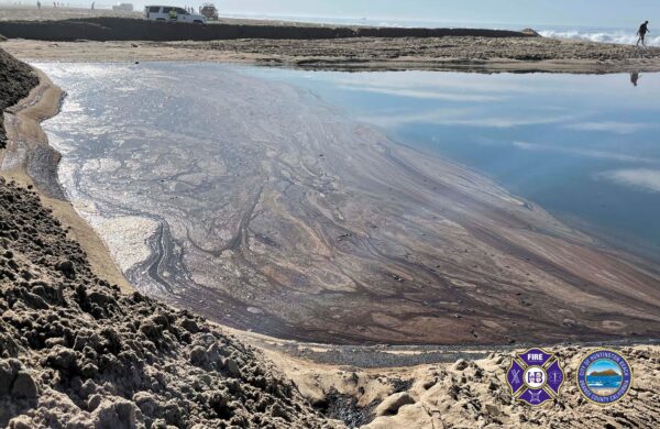
A voluntary evacuation warning took effect at 8 a.m. in the Silverado, Williams and Modjeska canyons in Orange County’s Bond Fire burn area. Residents were being advised to leave the area or prepare to evacuate quickly, particularly those with disabilities or mobility issues.
Some streets in the area were being restricted to local traffic only.
Orange County CEO Frank Kim said officials anticipated activating the county’s emergency operations center.
“We’re expecting at least a half-inch of rain” but with the ground already saturated from an earlier storm, officials are concerned, he said.
“Even a quarter-inch on saturated ground can lead to a mudslide,” Kim said.
The National Weather Service issued a flood watch that will be in effect from Thursday night until Friday morning for coastal and inland Orange County. Forecasters said some mountain areas could receive 3 to 6 inches of rain from the “atmospheric river,” with the heaviest downpours expected after midnight through Friday morning.
The rain will persist intermittently — perhaps heavy at times — through the holiday weekend, according to the National Weather Service.
“Unsettled weather will prevail across the area with periods of rain through Sunday morning, heaviest Thursday into early Friday,” according to the weather service.
“Snow levels will remain quite high (Thursday) but will drop significantly Friday night into Saturday. Temperatures will be significantly below normal across the region.”
Snow levels will initially be around 9,000 feet, but will fall below 8,000 by Friday afternoon, bringing some light snow to about 5,000 feet by Friday night into Saturday morning.
The forecast came with the usual cautions for travelers.
“Moderate rain could create slick roads and travel delays along with high mountain snow accumulations and gusty winds,” forecasters said. “Additional rain and lowering snow levels could impact travel this holiday weekend.”
By 11 a.m. Thursday, only a trace of rain had fallen in downtown Los Angeles, but a quarter-inch fell in Beverly Hills, while Agoura Hills and Porter Ranch had received roughly three-quarters of an inch. More than an inch of rain had fallen at Crystal Lake, according to the NWS.
Daytime temperatures should be in the upper 50s to mid-60s Thursday, the mid-50s to lower 60s Friday and the mid-50s to around 60 on Christmas Day.
The Angeles National Forest tweeted Wednesday that due to the rain and low snow levels, the following roads have been closed:
- 3N17 from BD to Mill Creek;
- 4N33 Moody;
- 4N37 Indian Canyon passable in 4×4 only;
- 4N24 Bear Trap;
- 7N23 Sawmill/Liebre area – 4×4 only;
- 7N08 Maxwell truck trail;
- 7N22 Knapp ranch large wash out.
Forest officials also urged people to pick another day for hiking.
“With snowy conditions in high elevations and rain in lower elevations, we are suggesting that today is not the day to go into the forest,” according to the ANF. “Driving and hiking conditions will be extremely dangerous for even expert hikers. We suggest going after the storm has passed.”