Red flag warnings of critical fire danger remained in place Monday for much of the Southland thanks to gusting Santa Ana winds and low humidity levels that have fire crews on heightened alert.
According to the National Weather Service, red flag warnings will be in effect until 3 p.m. in the Los Angeles coastal region, including downtown, as well as the San Fernando, San Gabriel and Santa Clarita valleys, the Santa Monica Mountains Recreational Area, Los Angeles County Mountains and the Angeles National Forest.
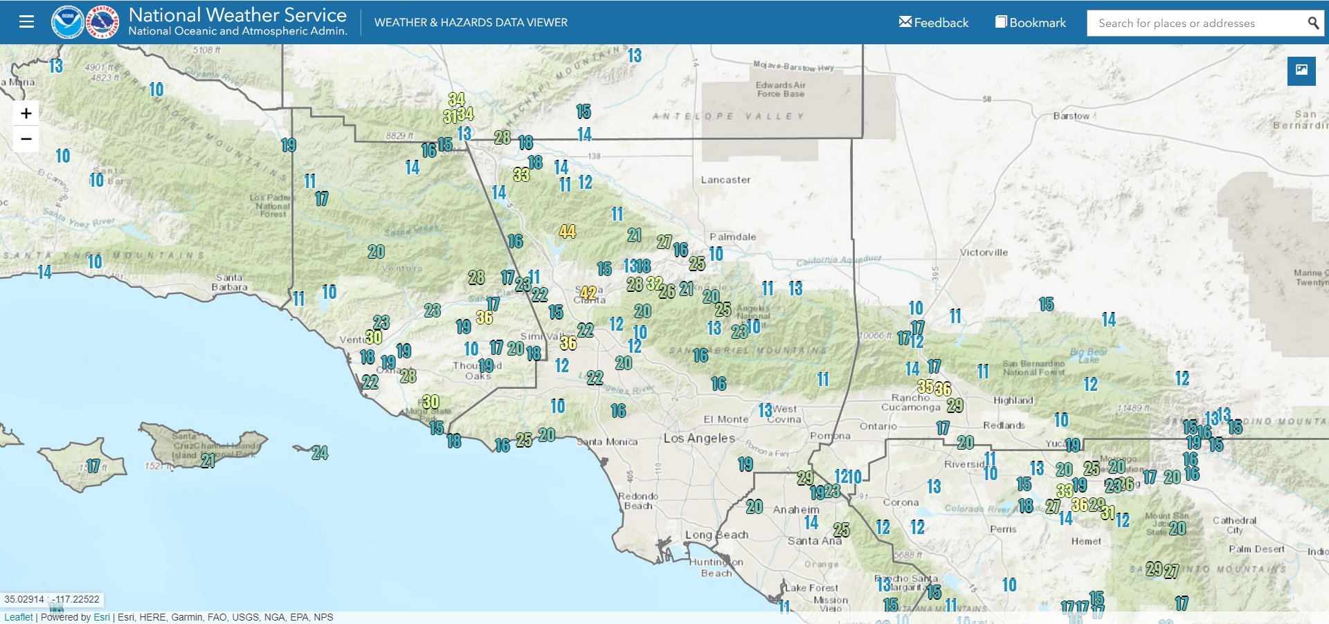
Valley areas can expect wind gusts of up to 40 mph, with gusts reaching 45 mph in the mountains, according to the weather service.
Forecasters said the wind will begin dying down Monday afternoon into Monday evening, but humidity levels will remain dangerously low, falling to between 6% and 12%, keeping conditions dry into the evening.
“High temperatures will peak for this event today, with highs between 77 and 87 common,” according to the NWS. “Humidities and temperatures will improve on Tuesday while northwest to north wind gusts of 20 to 35 mph will form over Santa Barbara County and the I-5 Corridor by the afternoon and evening.”
The Southland will get a short break from the weather conditions on Tuesday, but more gusting winds are expected to develop Tuesday night, and a fire weather watch will take effect for much of the region Wednesday and continue through Friday afternoon.
But forecasters said the fire weather watches will likely be upgraded to new red flag warnings that will continue through Thanksgiving.
“Peak wind gusts between 30 and 50 mph are expected, with isolated gusts to 60 mph,” according to the NWS. “Humidities will likely lower into the 2 to 8 percent range by Thursday and Friday and poor overnight recoveries. As such, red flag conditions are likely for most of Los Angeles and Ventura Counties Wednesday and Thanksgiving Thursday, with a chance of continuing through Friday.”


