Heaviest rains expected Thursday and Friday
By Terry Miller
California is bracing for what meteorologists are calling an ‘atmospheric river,’ in the coming few days. The National Oceanic and Atmospheric Administration (NOAA) describes atmospheric rivers as “relatively long, narrow regions in the atmosphere — like rivers in the sky — that transport most of the water vapor outside of the tropics. These columns of vapor move with the weather, carrying an amount of water vapor roughly equivalent to the average flow of water at the mouth of the Mississippi River.”
In a tweet the National Weather Service Los Angeles said Monday: “All eyes are now on our major long-duration winter storm slated to affect SoCal through Friday night. We are expecting the Central Coast to be hammered with several inches of rain, and a bit less farther south. Keep an eye on our forecast for the latest details.”
A 40% chance of rain, mainly after 10 a.m. is slated for Thursday and mostly cloudy, with a high near 60 degrees Fahrenheit. South southeast wind is projected at 5 to 10 miles per hour. A winter storm warning is in place until Friday afternoon as the system might bring 2–4 inches of rain in some areas.
Bitter and somewhat ironic news for California restaurants who are allowed to resume outdoor dining Friday after Governor Gavin Newsom lifted the regional stay-at-home order this week.
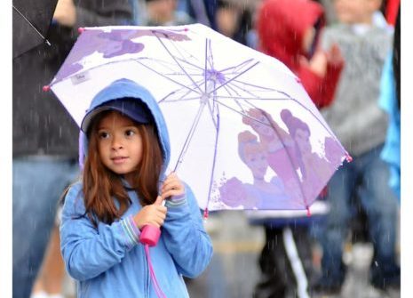
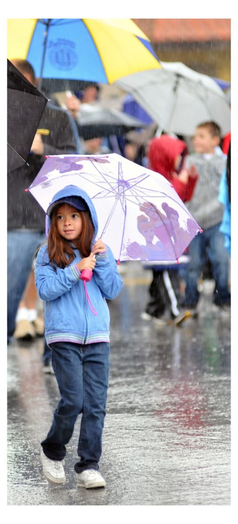
The owner of Copper Still Grill, Steve Kwan, was pleased about the new order allowing outside dining again but has decided to ride out the storm over the weekend and perhaps set up his outdoor dining areas next week to be on the safe side. Copper Still Grill’s patio tents were destroyed in the last big windstorm a few weeks ago. One regular patron of Kwan’s restaurant quipped that it’s lucky Copper has such a fine selection of umbrellas, just in time for in time for opening in the rain. It should be noted that the interior dining room ceiling of the restaurant is adorned by upside down, open and colorful umbrellas.
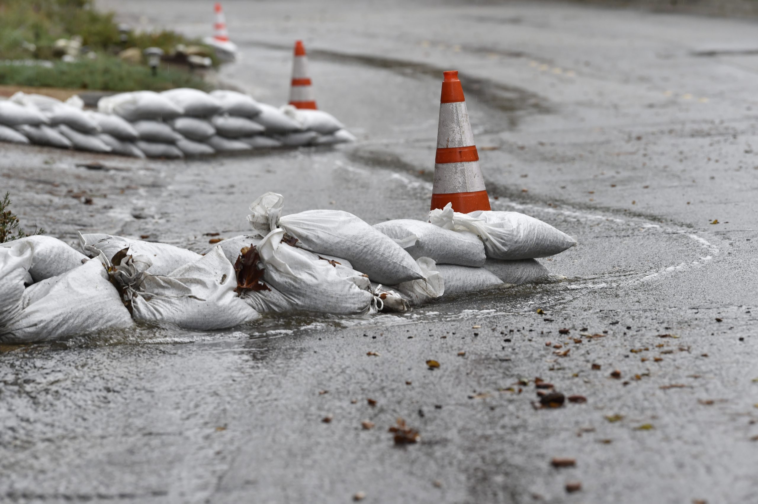
Multiple days of steady moderate to heavy rainfall and mountain snow is likely through Friday. Rainfall intensities (likely exceeding three-quarters of an inch) could result in debris flow issues for the recent burn areas. NWS is strongly considering a flash flood watch for the L.A. County burn areas.

